The eight summits of Morocco, and which ones really get climbed
Inspiration
Toubkal 4,167 metres, the highest summit in North Africa: the Moroccan postcard fits in that one figure. It hides seven others. Eight serious summits, from the M'Goun to the ridges of Siroua, all reachable from Marrakech - and not all of them call for the same season, nor the same commitment. Why the Toubkal is as over-hyped as it is under-rated.
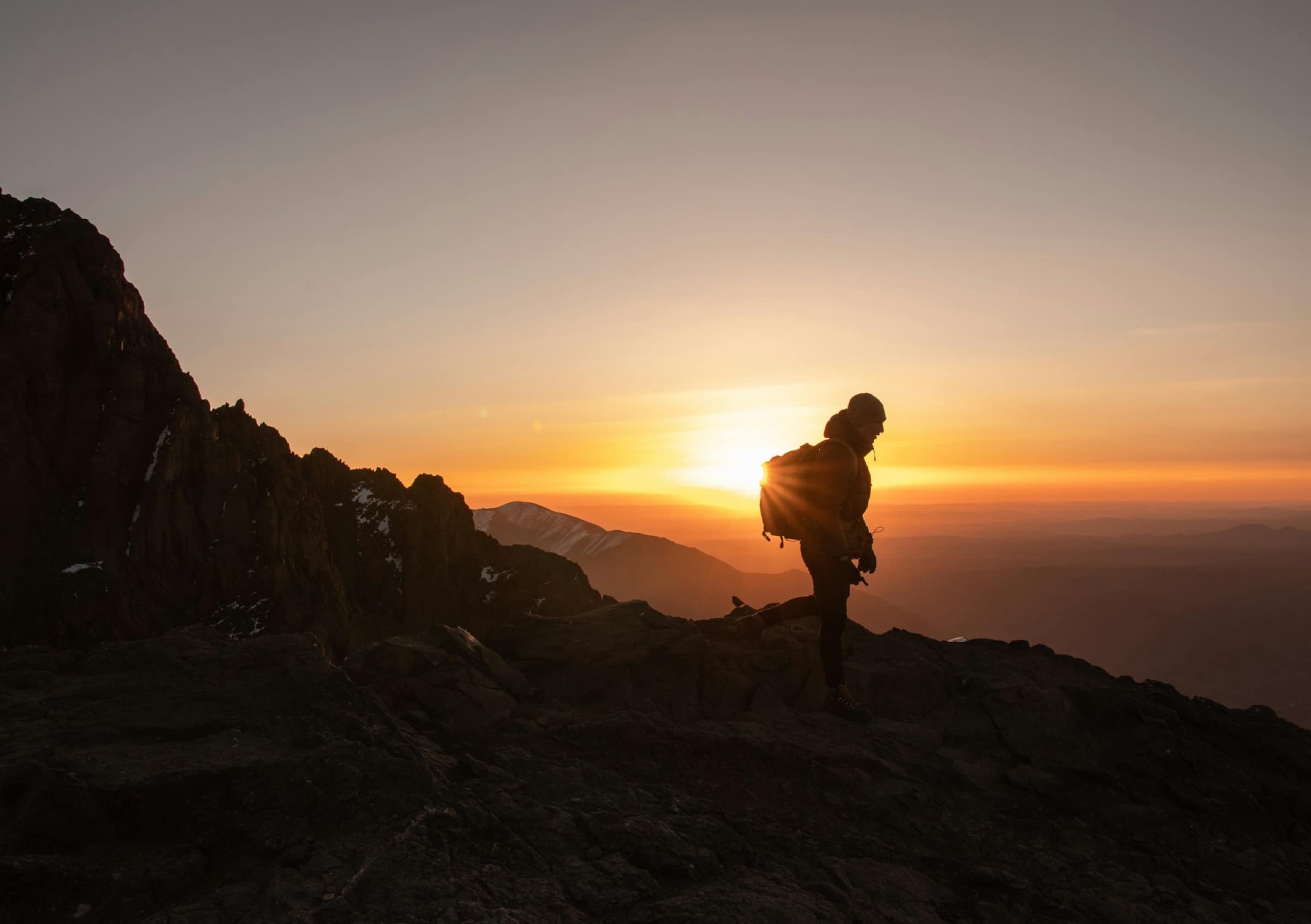
Moroccan mountains are often summed up in Toubkal. 4,167 metres, highest summit in North Africa, “done” in two days from Marrakech, with the sunset photo at the top and back to the hotel for dinner. That is true, and it is reductive: the country lines up eight summits that count, four above 4,000 metres, four others that hold the ridges of the Middle Atlas, the Anti-Atlas and the Rif. Not all of them call for the same season, the same commitment or the same budget. Some walk in a day with no technical gear. Others demand crampons, ice axe and an accredited guide, now mandatory on the Toubkal corridor since 2019. Here, summit by summit, is what really gets climbed, when and for whom. Marrakech stays the base camp: you set out from here and come back to sleep here.
The Toubkal, 4,167 metres, and what they do not tell you
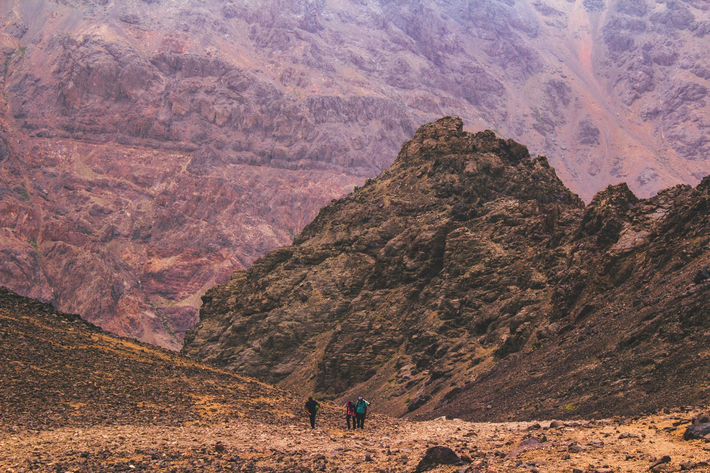
Toubkal has a two-edged reputation. It is called the roof of North Africa, which is true, and many imagine the difficulty follows the altitude. It does not. In summer, it is an altitude hike on a trail, not an alpine route. The real obstacle is altitude sickness, neither the rock nor the slope: two thousand metres of positive elevation swallowed in twenty-four hours costs you, usually from 3,500 metres up, in the form of a headache, nausea and abnormal fatigue. I have seen marathoners give up halfway to the summit, and pensioners walk past them at a steady pace, because physical shape does not replace acclimatisation.
The other misreading is winter. From December to March, the same route changes nature: snow, ice, tricky summit ridge. Crampons, ice axe, rope, experienced guide, whatever the municipal decree says. National-park accident stats speak for themselves: half the rescues concentrate on the cold months, when summer hikers come back for “the snowy version”.
Since late 2018 and the Imlil tragedy, accompaniment by an accredited guide has been mandatory on the Imlil - refuge - summit corridor. Three gendarmerie posts check the guide’s card and the passport, between Aroumd and the foot of Toubkal. An important nuance that few sites relay: the measure targets this precise corridor, not a national decree. You can walk without a guide in the Ourika valley or in the Middle Atlas, but not go up Toubkal solo.
Ouanoukrim, the twins of Toubkal within a hundred metres
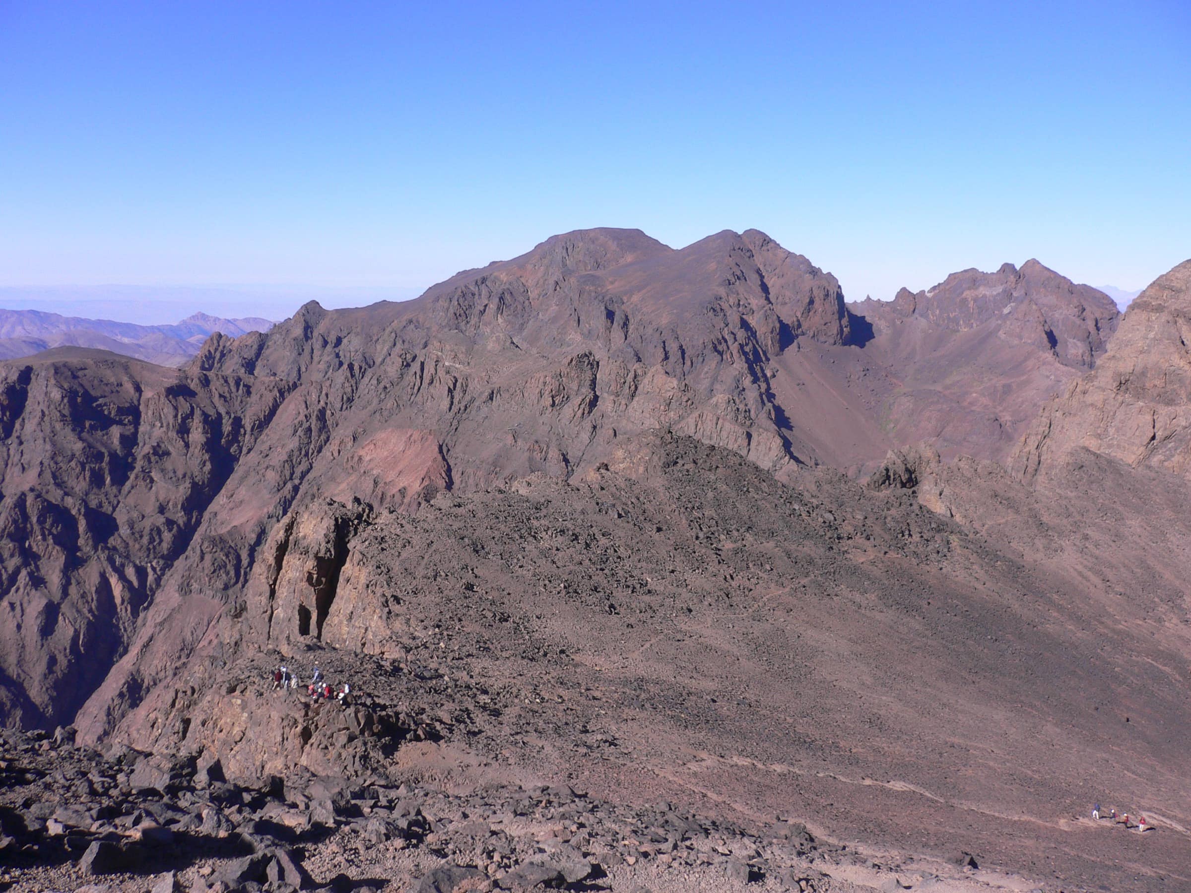
One kilometre as the crow flies from the Toubkal refuge rises a massif the postcard ignores: Ouanoukrim, two twin points, Timzguida (4,089 m) and Ras n’Ouanoukrim (4,083 m). Second and third summits of North Africa, barely a hundred metres below the great neighbour. From the same Mouflons refuge, the approach takes an extra morning, the trail winds west, the ridge is airier than that of Toubkal but with no technical passage in summer. Zero gendarmerie checkpoint, and on my last visit in September 2025, two teams only at the summit against a hundred or so on the Toubkal side.
That is the interesting trade-off for anyone who has stomached the Imlil logistics and refuses to add the queue at the summit to the bill. Same altitude, minus a fraction of the aura, minus a fraction of the crowd. In three days at the refuge, you double up Toubkal + Timzguida, what tour operators sell as the “crown of Toubkal” package.
M’Goun, the so-called mountain of women
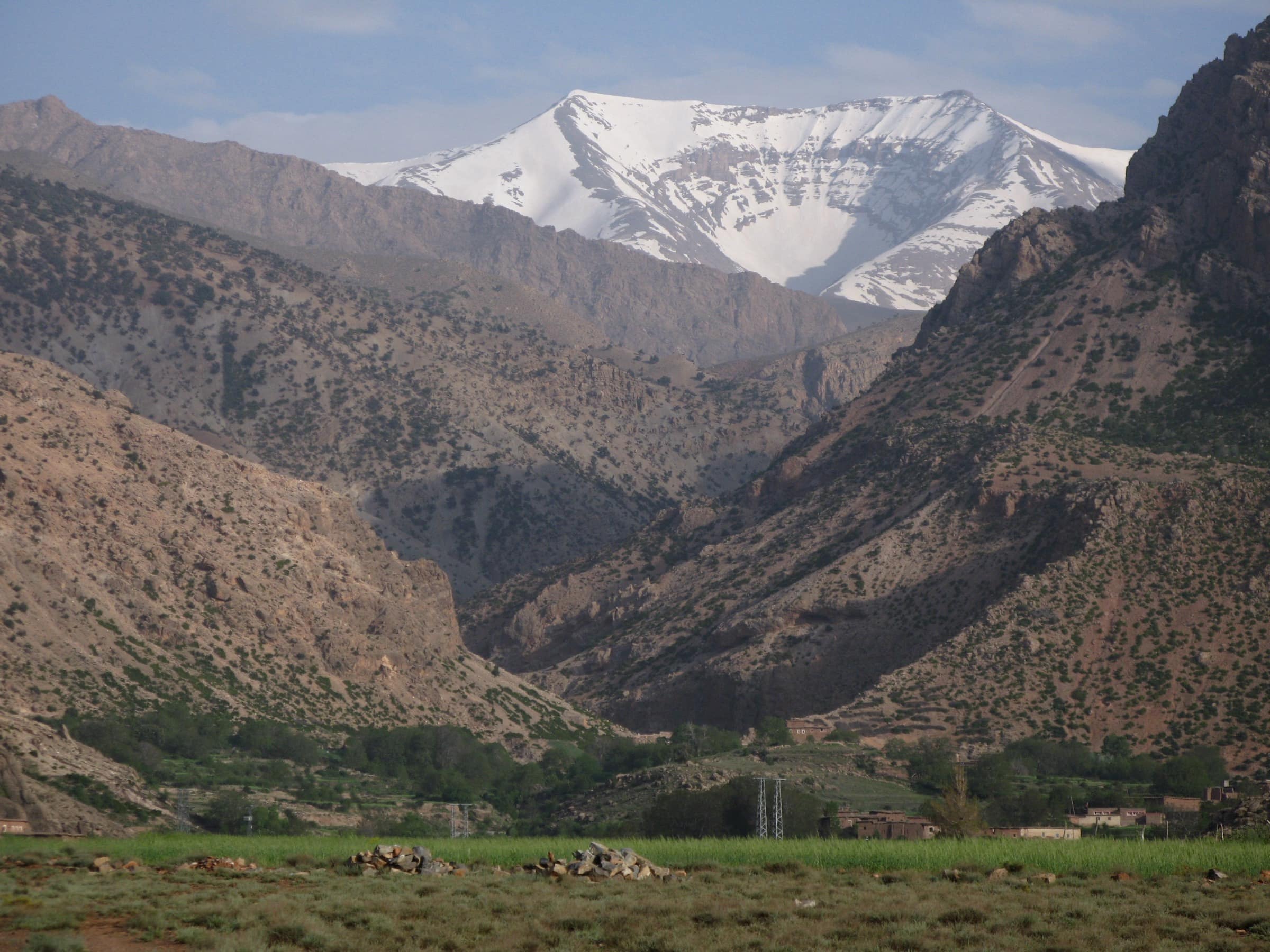
Ighil M’Goun peaks at 4,071 metres, in the massif of the same name, at the head of the Aït Bougmez valley, seven hours of piste from Marrakech. It is sometimes called “the mountain of women” in the Amazigh tradition, because its long smooth silhouette calls to mind, depending on the valley, a stretched-out figure. I have seen snow hold there until June.
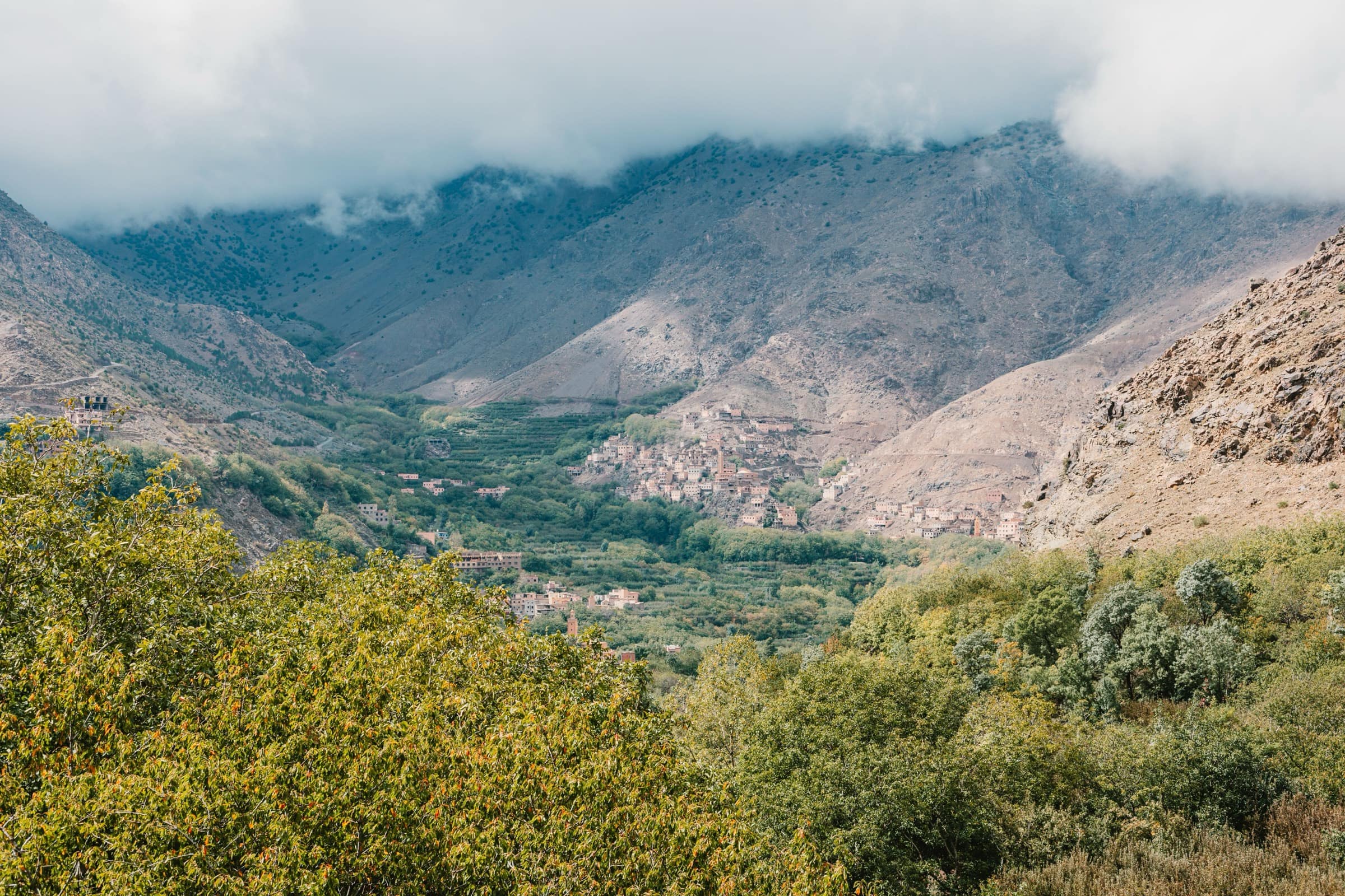
M’Goun does not look like Toubkal. No short framed corridor, no refuge two hours from the summit, no checkpoint. It is a four-to-six-day traverse, in relative self-sufficiency, with passes above 3,500 metres and nights with a host family or under canvas. The walk crosses limestone gorges, terraced barley and apple orchards and villages that still live off their agriculture. If you are thinking of a Moroccan trip with more commitment than the Toubkal queue, this is the route to keep. The price of the retreat, literally: you pay in days of walking what you gain in solitude.
Bou Naceur and Bou Iblane, the forgotten Middle Atlas
Bou Naceur peaks at 3,340 metres, the highest point of the Middle Atlas. The neighbouring Bou Iblane ridge climbs to 3,192 metres. Nearly no-one comes to climb them. Marrakchi guides do not talk about them, French tour operators either: the Middle Atlas is known as the area you go walking between cedars and lakes, not for a summit objective.
Wrong reading. Bou Naceur and Bou Iblane lend themselves to ski touring in May, when the winter accumulation still holds on the north faces while the valley turns green. They are also very clean summer routes, no technical difficulty, and near-Tibetan plateau landscapes. You set out from Boulmane, five hours from Fes and eight from Marrakech (far, but the region combines with a Fes - Middle Atlas stay). For anyone who has swallowed Toubkal, this is the next trip.
Siroua, the high point of the Anti-Atlas
3,304 metres, an extinct volcano, between the High Atlas and the Anti-Atlas, on the border of Taroudant and Ouarzazate provinces. Siroua (or Sirwa depending on the transliteration) is a case apart: not a chain but an isolated flat-topped massif surrounded by stony plateaus. Around it is saffron country, that of Taliouine, whose violet flowers cover the terraces in late October.
Six hours of road from Marrakech (via Ouarzazate or via Taliouine), one or two days of walking from the village of Akhfaman, one night with a host family. Useful season: September to November, or March-April. Summer knocks you out, winter freezes. Less a summit to collect than a region to explore, with the summit as a reward.
Tidirhine, the high point of the Rif
The Rif, in the north, is Moroccan but culturally apart. Its highest point, Jbel Tidirhine, climbs to 2,456 metres, between Chefchaouen and Al Hoceima. It is the least alpine summit on the list: cedar and holm oak wooded slopes, shepherd trails, no dedicated mountain refuge. You climb it on a day trip from Ketama, light pack.
900 kilometres from Marrakech, Tidirhine is outside the natural scope of a Marrakech trip. I mention it for the mental map: if you stitch two Moroccan towns into the same stay, the Rif hooks to Chefchaouen or Tetouan, not to Marrakech.
Walking without aiming for the 4,000s
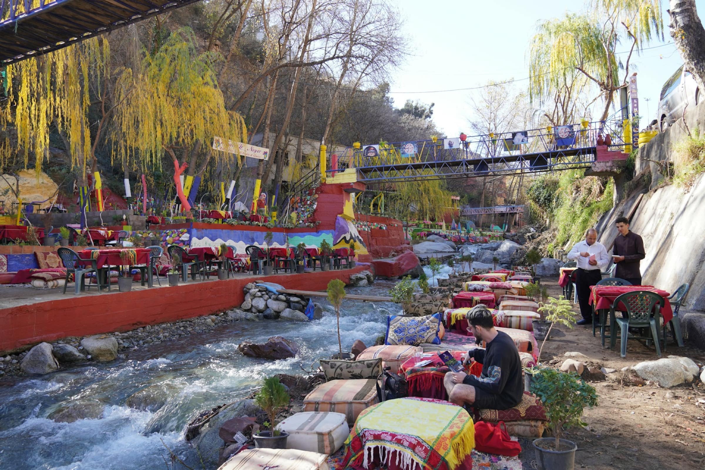
Mountain Morocco is not only the summits. An hour’s walk from Setti Fatma village, in the Ourika valley, you find the first waterfall with no gear at all. Three and a half hours from Marrakech, in the cedar forests of the Ifrane area, you cross paths with Barbary macaques (Macaca sylvanus), the only non-human primates still present in the wild on the African continent north of the Sahara. They number ten to twelve thousand in the Middle Atlas cedar forests, in decline, listed as Endangered by the IUCN. That is the real show you did not go looking for: you come to walk between the trees, you leave with monkeys.
Another getaway: the Ouzoud waterfalls, two and a half hours from Marrakech, a 110-metre plunge in three tiers. The crowd is real in April, but early morning or off-season, the grazing light on the water is worth the trip. None of these outings is a summit. All of them are useful breathers before or after an altitude climb.
When to go
Windows, massif by massif: Toubkal and Ouanoukrim, April to November for the altitude hike, December to March for the alpine version. M’Goun, April to October, with June the best window. Bou Naceur and Bou Iblane, May (ski) and July-September (walk). Siroua, September to November or March-April. Tidirhine, spring and autumn.
Common thread across all these mountains: you do not climb them in July-August, 42 degrees in Marrakech, imagining cool air at 3,000 metres. Altitude partially offsets, but the valley-floor approaches stay hot, and the afternoon storm falls almost every day in summer on the High Atlas.
The panorama of the eight summits
| Summit | Alt. | Massif | Marker |
|---|---|---|---|
| Toubkal | 4,167 m | High Atlas | Highest in Morocco and North Africa |
| Timzguida (Ouanoukrim) | 4,089 m | High Atlas | 2nd in North Africa, neighbour of Toubkal |
| Ras n’Ouanoukrim | 4,083 m | High Atlas | 3rd in North Africa, same ridge |
| Ighil M’Goun | 4,071 m | High Atlas (Aït Bougmez) | 4-6 day traverse, more solitary |
| Bou Naceur | 3,340 m | Middle Atlas | Highest of the Middle Atlas |
| Djebel Siroua | 3,304 m | Anti-Atlas | Extinct volcano, saffron country |
| Bou Iblane | 3,192 m | Middle Atlas | Spring ski touring, summer walks |
| Jbel Tidirhine | 2,456 m | Rif | Highest of the Rif, outside the Marrakech scope |
From Marrakech: distances, refuges and prices
Imlil, base camp for Toubkal and Ouanoukrim, is 1h 30m from the medina. Grand taxi at 400 dirhams (£32), minibus at 40 (£3.20). Aït Bougmez for M’Goun, six to seven hours via the Azilal road. Taliouine for Siroua, six hours via Ouarzazate. Boulmane for Bou Naceur and Bou Iblane, eight hours. Ifrane for the cedar forests, seven.
On the ground, an accredited guide from the Imlil Guides Bureau costs between 800 and 1,500 dirhams (£64 to £120) a day, depending on the season and the number of walkers. The Mouflons refuge, below the Toubkal summit, charges 300 dirhams (£24) a night in the dormitory and 720 (£58) in a double room, half-board included. The Neltner refuge runs around 200 dirhams (£16) in the dormitory, to book direct. A classic Toubkal climb on a 2-day format comes to £130 to £280 per person, depending on the group size and the operator. Prices current in July 2026.
The window is up to you. This notebook tells the summits. For the day-by-day itinerary, the kit, the passes and the weather, we take over in the guide.