Trekking in the Atlas and climbing the Toubkal
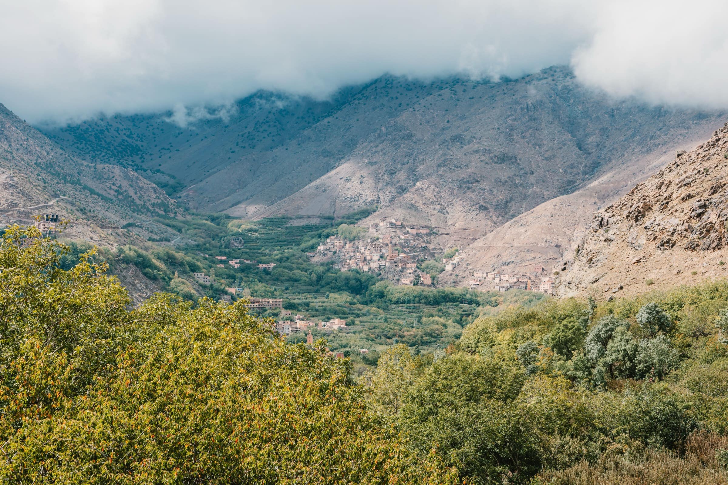
An hour and a half from Jemaa el-Fna, the road runs into Imlil, 1,740 metres, the last village before the trails. From there, you walk a morning through the Berber valleys, several days from village to village, or you aim for Toubkal, 4,167 metres, the highest summit in North Africa. Three engagements not remotely alike: here is how to pick yours.
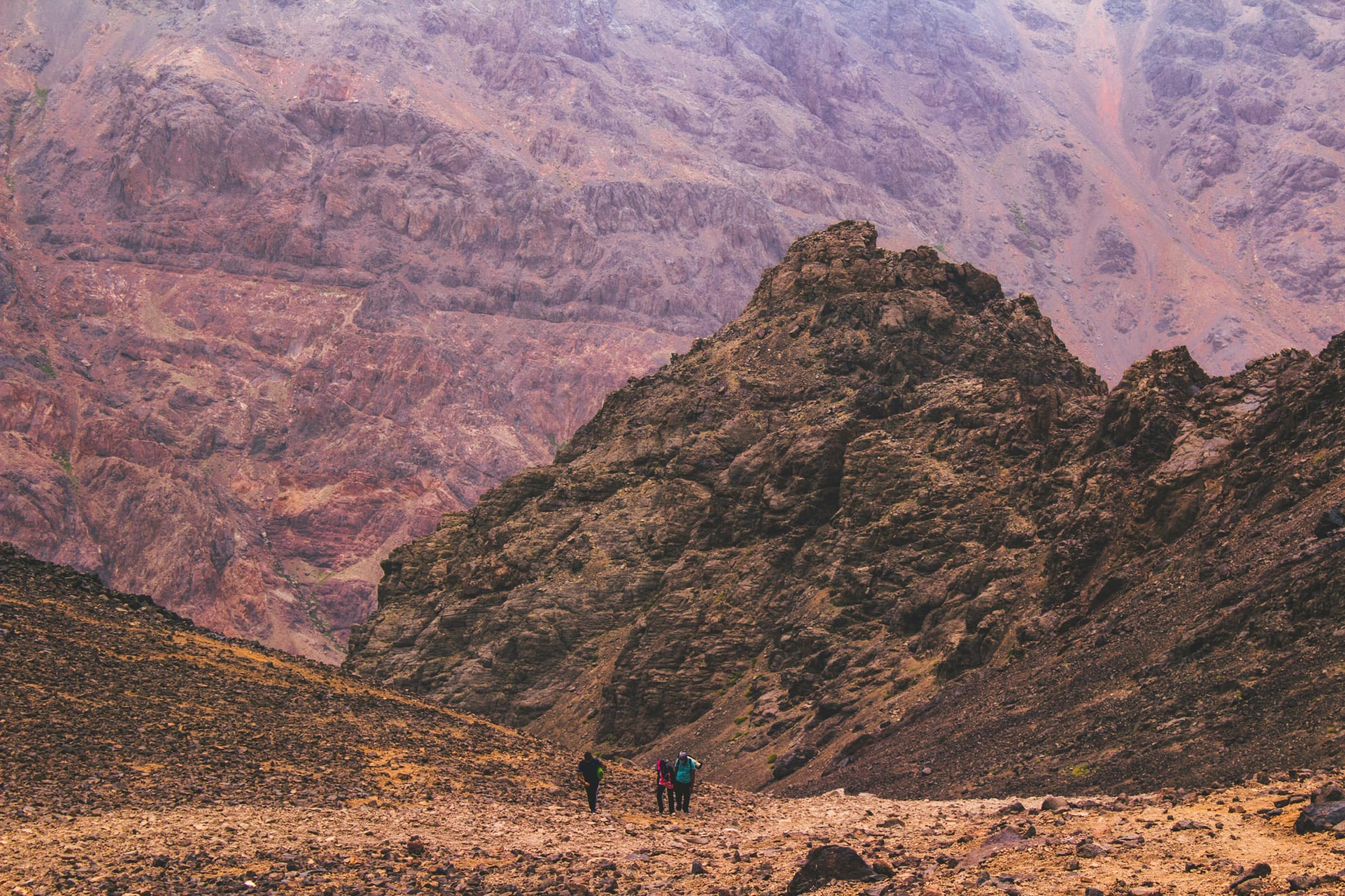
The High Atlas starts an hour and a half from Marrakech, and you have no idea of its rough beauty until you are there. Past Imlil, the road stops and the trails take over, towards summits brushing 4,000 metres. Three ways to commit, calling for neither the same level nor the same prep - and each pointing back to our sheets to book.
Three ways to walk the Atlas from Marrakech
Most starts from Imlil, the base-camp village at 1,740 metres, at the end of the road from Marrakech. From there, three formats stand apart.
The day walk: a few hours of trail around Imlil or in a neighbouring valley, no extreme altitude, to taste the mountain without committing. That is the Imlil valley spirit, the accessible gateway to the massif.
The Berber-village trek: two or three days of walking hamlet to hamlet, between terraces, walnut trees and passes. No 4,000 m summit, but fine stages, the evening tagine under the gas lamp and a night at a local’s.
The Toubkal climb: the big objective, two to three days to reach the roof of North Africa. It is a demanding trek, not a stroll - we come back to that below. For the formats and prices, see our Toubkal climb sheet.
The Toubkal climb, roof of North Africa
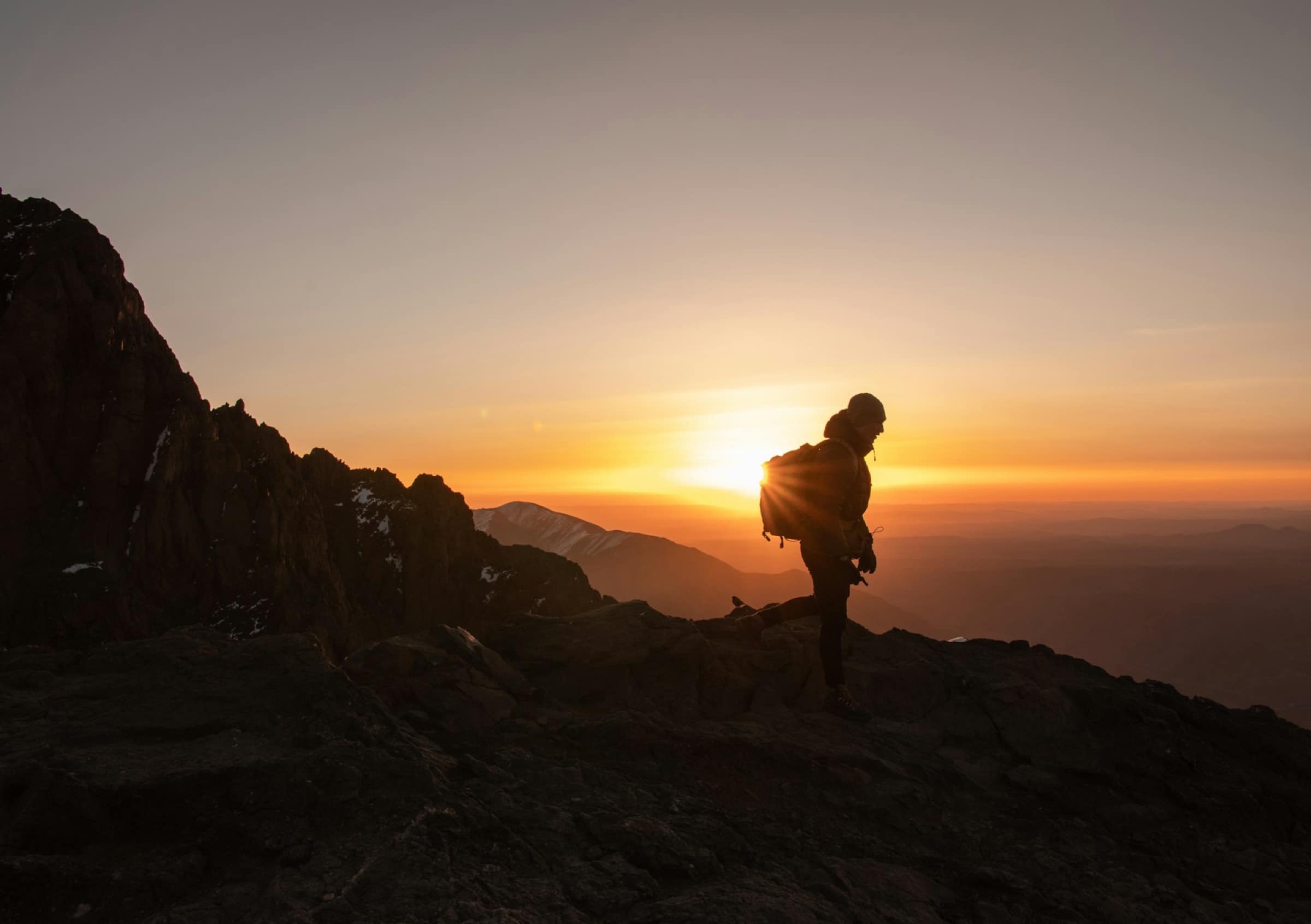
Toubkal (4,167 m) is the highest point of North Africa - and not of Africa, a common shortcut: Kilimanjaro, much higher, sits elsewhere. The classic format holds in two days. On the first, you climb from Imlil to the Toubkal refuge, around 3,207 metres, where you sleep. On the second, you leave at dawn, in the dark and by headlamp, to touch the summit at first light, then head back down. A three-day version eases the acclimatisation - and, honestly, that is the one we recommend: altitude is not something you force.
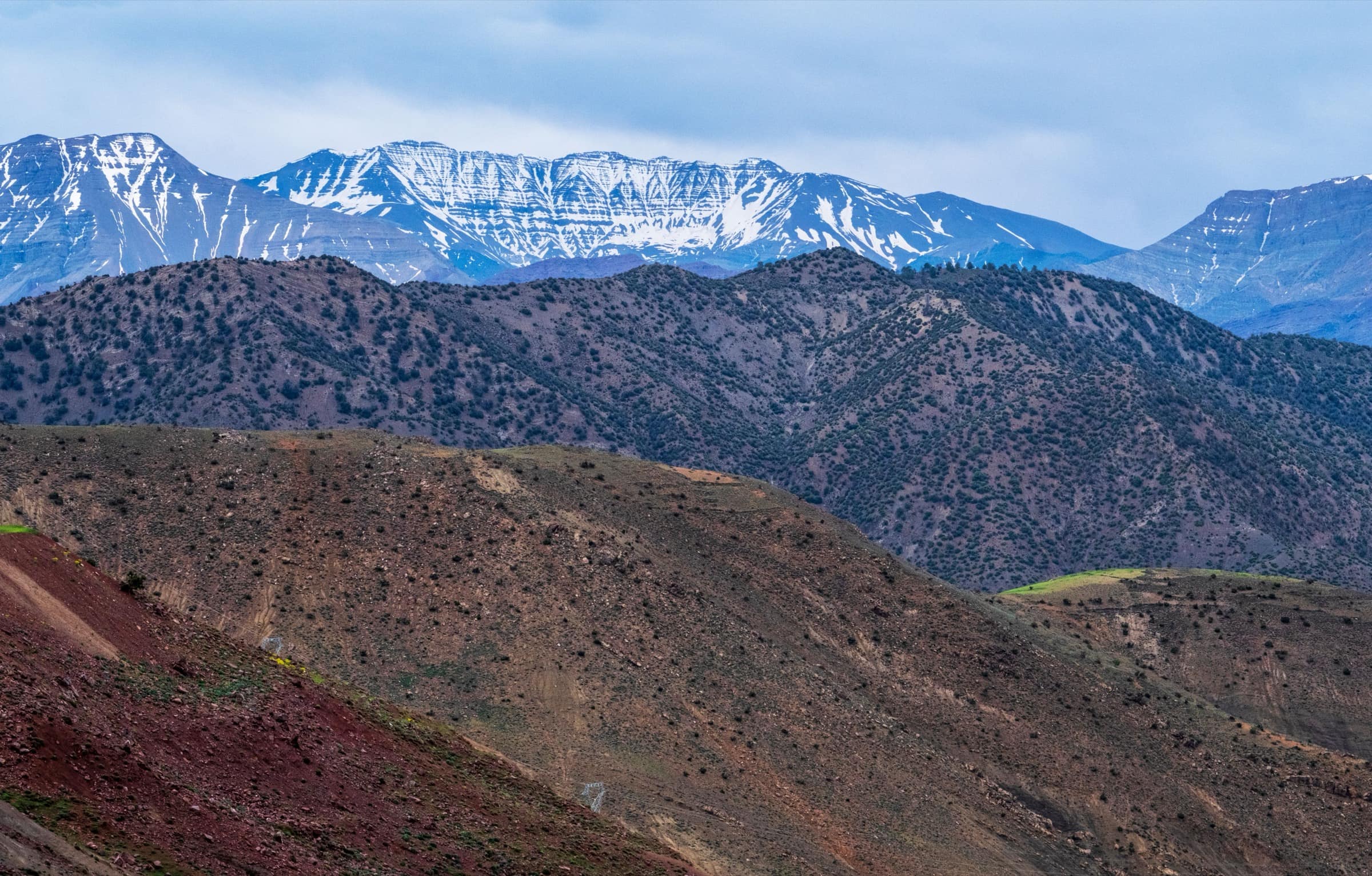
The climb is demanding through elevation (over 2,400 metres from Imlil) and altitude, not technique - summer holds no alpine section. Above 3,000 metres, headache, fatigue and short breath lie in wait for those who climb too fast. That is where an experienced guide knows to slow the step. Many underrate this effort: Toubkal is earned.
The altitude refuge: Toubkal (CAF) or Les Mouflons
People say ‘the refuge’, there are two, side by side at 3,207 metres, five hours’ walk above Imlil - and the pick is not neutral. The Refuge du Toubkal, known as Neltner, run by the Club Alpin Français, is the smaller but the better heated - the deciding point in shoulder season and winter: a fireplace in the common room. Tighter dormitories and basement toilets, on the other hand. Reckon on £21 to £26 a night (£4 less with the Club Alpin card), half-board around £30 to £38. Les Mouflons, run by a Moroccan team, is much bigger and airier, with a panoramic terrace all the way to Oukaïmeden and, besides the dorms, single and family rooms. Their one fireplace heats less in deep cold, though. Around 280 dirhams a night in a dorm, half-board included (to confirm direct). Plainly put: in cold weather or for the most sober, the CAF. For space, a room to yourself or sunset on the terrace, Les Mouflons. Book, especially April to October, both showing full in peak season.
A mountain guide is mandatory
That is the point to get before anything: since 2019, after the December 2018 tragedy, it is forbidden to climb Toubkal without an accredited guide, whatever your experience and the season. The Royal Gendarmerie runs regular checks, mostly after the village of Aremd, on the summit trail. Do not expect to climb solo on the normal route.
The rest is picking your guide well. The real Moroccan qualification is the CFAMM Tabant diploma, in the Aït Bouguemez valley - not to mix up with a French alpinism diploma, which is not the local reference. A serious guide holds a professional card (name, photo, number) they can show. Going through the Imlil Guides Bureau, or an agency that names its guide and their card number, keeps improvisers out. A helpful extra sign: muleteers affiliated to the AMI-SPANA scheme, which oversees the vet care of the Imlil mules. Beyond the law, a good guide is real protection: they read the weather, slow the step at the right moment and spot the first signs of altitude sickness.
Beyond Toubkal: the less-busy alternatives
The Toubkal normal route has become a motorway: the guide requirement funnels nearly everyone through, and in summer the Imlil - Sidi Chamharouch - refuge trail and the dorms are packed. You cross, at mid-point, the white mausoleum of Sidi Chamharouch, a Berber pilgrimage site perched above the wadi. Three counter-programmes, named and far quieter.
The Azzaden valley, west of the massif, is the gentlest: three to four easy-to-moderate days, terrace crops, walnut trees, red-pisé villages and Berber gîtes, with a bonus of the Irhoulidene waterfalls - some fifty metres, the highest in the massif - above the Tamsoulte azibs. To turn the packed out-and-back into a loop, you go through the Lepiney refuge, under the Tazaghart cliffs, off the classic axis: you then rejoin the Toubkal refuge on another side, without repeating the same trail. On the south side, finally, Ifni lake, a large lake in a glacial cirque around 2,300 metres where you can swim, is reached from Amsouzart, a side far less busy than Imlil and often folded into a multi-day crossing.
A word for walkers already acclimatised and comfortable on rock: Ouanoukrim (Timesguida 4,089 m, Ras n’Ouanoukrim 4,083 m), second and third summits of the massif, offers a striking view of Toubkal. Careful, it is not an easier option: the passage calls for putting hands on, it is rated difficult - a notch above the normal route, not below.
When to go
For the summer-conditions climb, the season runs April to November, with a reserve in August, more stormy. The trail is then stony but snow-free, and the effort stays ‘only’ physical.
From December to March, Toubkal takes on snow: the climb turns into an alpine route, calling for crampons, ice axe and suited supervision. Superb, but kept for equipped and experienced people - it is no longer hiking.
For valley and village treks, spring (April-May) and autumn (September-November) are ideal: mildness, green terraces, clear passes. The lower valleys stay walkable all year, winter aside on the heights.
Two useful nuances. On footfall, summer is the busiest season, trails and refuges full. Autumn offers stable, cool weather and clearly fewer people - it is our favourite window for the climb. And if your stay falls during Ramadan (dates shift, around February-March by year), know that guides and muleteers fast from sunrise to sunset: the pace is a bit slower, dinners are served after the fast breaks, but the programmes hold. You are not asked to fast, only to skip drinking, eating or smoking in front of the team during the day.
What level, and how to prepare
The climb calls for good physical shape and the habit of walking several hours on the up: five to seven hours of effort a day, backpack on, over two days. It is not an athlete’s feat, but a long day of effort at altitude.
Three tips before setting off: train a minimum on elevation walks. Ease the acclimatisation by picking the three-day format. And be honest about your level when booking. Village treks stay open to any regular walker.
What to bring
We have seen people go up in city trainers. They came back down before the refuge. Even supervised, Toubkal is prepared for:
- Good hiking boots, high-cut, already broken in on your feet.
- Layers: warm at the bottom, cold at the top, even in summer where the wind is icy at dawn.
- A windbreaker or a waterproof jacket, a hat and gloves for the summit.
- Sunglasses, cream and hat: at altitude, the sun hits hard.
- A headlamp for the night start, plenty of water, snacks.
- In winter, crampons and ice axe (provided by the supervision) are essential.
At the refuge, blankets are provided, but a sleeping-bag liner is welcome. The rest (tent for the treks, meals) is usually handled by the agency.
Booking a trek or the climb
We do not sell the treks: booking goes through local agencies and guides, via our partner. To compare the Toubkal climb formats (2 or 3 days) and the Berber-village treks, and see the prices, head to our dedicated sheet:
→ Toubkal climb and Atlas treks
If you prefer to get to know the mountain without aiming for the summit, start with the Imlil valley, the most accessible, or with a neighbouring valley like Ourika. And to set your dates, see best time to visit Marrakech.