Skip to content
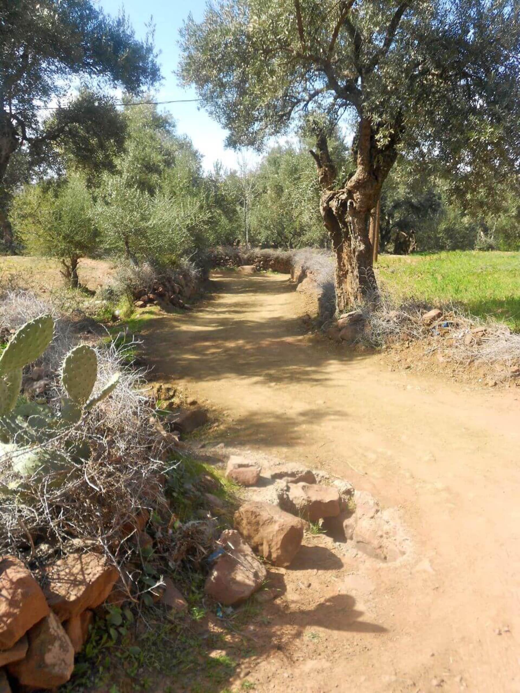
A path between olive trees and terraces in the low Zat valley.
HIGH ATLAS · SECRET VALLEY

Zat valley

~60 km · 1h 30m · full day · souk on Wednesday
Distance60 km
Travel time1h 30m by road
DurationFull day

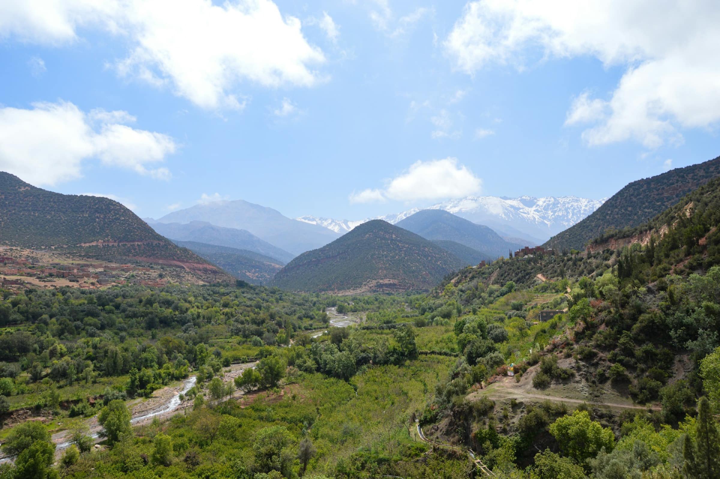
The Zat valley is a valley for those the Ourika lets down. Where the Ourika is green, famous and lined with restaurants, the Zat has stayed off the map: a High Atlas valley south-east of Marrakech, where the wadi comes down from Toubkal slopes between pisé villages, barley terraces and walnut trees. Almost nothing touristy here, and that is the whole point: a mountain souk on Wednesday at Tighdouine, a potters' village opposite, trails to walk hamlet to hamlet, springs including a sparkling one. In return, let us be plain: few facilities, a road that ends in a track and nothing organised on site. It is an outing for walkers and the curious, not for a ready-made day - better with a hiking guide or a driver used to the tracks. In exchange, you touch a Berber mountain still intact, only ninety minutes from town.

The Zat valley is one those guides skip. East of the Ourika, less green and far less busy, it climbs up a wadi coming down from Toubkal slopes, between pisé villages, barley terraces and walnut trees. No fitted-up waterfall, no waterside café, no car park: tourism stopped before entering, and that is precisely what makes its worth. The valley lives on a Wednesday rhythm, when the Tighdouine souk gathers the mountain folk come down on mule. The rest of the time, it belongs to its people, its Talatast potters and a few walkers. An escape for those wanting to see a Berber mountain still true, ninety minutes from Marrakech - provided you accept the track, the walking and the absence of organised comfort.

On your own or on a tour?

On your own
By car: ~60 km via the Ouarzazate road (RN9) to Aït Ourir, then the P2016 road up the valley to Tighdouine. Tarmac gives way to track higher up: a 4x4 is preferable past the villages.
Wednesday, Tighdouine souk day, is the best moment to catch the valley's life.
To walk, a local guide (from Tighdouine or Arbaa Tighdouine) leads hamlet to hamlet: trails are not marked.
On a guided tour
A 4x4 driver-guide handles the track and skips getting lost in a valley with no signage.
A hiking guide opens access to the hamlets, the Talatast potters and the wadi trails.
No packaged online offer: the valley preps with a local guide or a small trekking agency, not in one click.

What to expect

About half a day. Times are indicative.

8.30am

Departure from Marrakech

Ouarzazate road (RN9) south-east, to Aït Ourir, the small market town at the region's gate.

10am

Climb up the valley

Leave the RN9 for the P2016: the road follows the Zat wadi, between olive groves, terraces and pisé villages, up to Tighdouine.

10.30am

The Tighdouine souk (on Wednesday)

The weekly market: livestock, vegetables, spices and tools, where villagers come down from the altitude hamlets to stock up.

12pm

The Talatast potters

Opposite, on the other side of the wadi, the small potters' village of Talatast, known for its hand-shaped earthenware.

2pm

Walk along the wadi

A hamlet-to-hamlet walk, between terraces and walnut trees, along the water and the springs - including a sparkling one.

4.30pm

Back to Marrakech

Down via the P2016 and the RN9, back in late afternoon.

What you see there

Arbaa Tighdouine

The Wednesday souk at Tighdouine

The valley's date: every Wednesday, the Arbaa Tighdouine souk gathers Zat villagers, often coming down on mule. Livestock, earth produce, spices, blacksmiths and barbers: a real mountain market, no souvenir stalls. The best day to come and the beating heart of the valley.

Pottery

The Talatast potters

Right opposite Tighdouine, on the other side of the wadi, Talatast village lives off pottery: local earth shaped and fired to know-how handed down the generations. Access via a trail. A chance to see the potters at work, off the town's showroom workshops.

Mountain life

The Zat wadi and villages

The valley walks as much as it looks: along the wadi, trails link the pisé hamlets, between barley terraces, walnut and fig trees. You meet shepherds, children, women in the fields - an inhabited pastoral Berber mountain, worlds away from valleys fitted up for tourism.

Renowned waters

The Tighdouine springs

Around Tighdouine, several natural springs come up, including a sparkling one, waters known in the region for their qualities. A curious refreshing stop, in the shade, between two walks.

Good to know
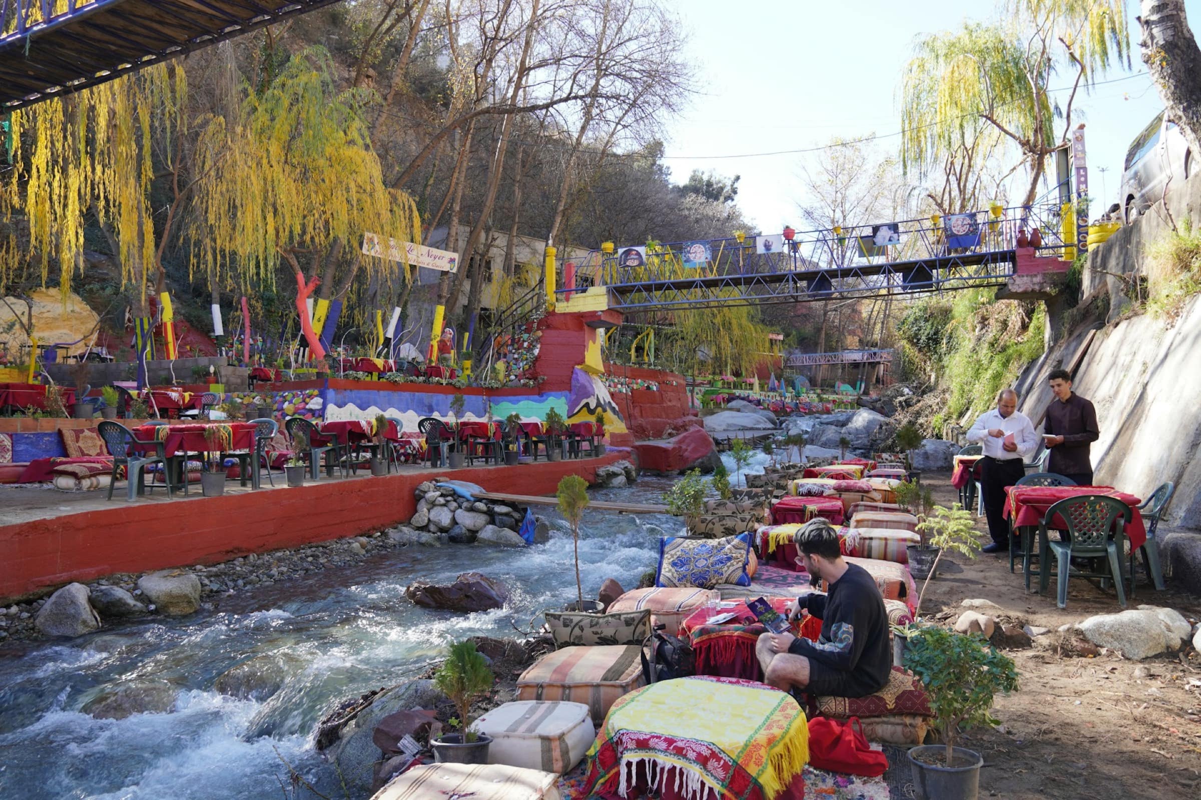
A valley almost tourist-freeDo not expect fitted-up waterfalls, restaurants or car parks: the Zat has stayed off the circuits. Its richness (authenticity) and its constraint (few services, few shops). Bring water, snacks, cash, and warn that the day is rustic.
Wednesday, souk dayTo see the valley alive, come on a Wednesday: the day of the Tighdouine souk, when all the villages come down. Other days, the valley is quiet and emptier - fine for walking, but without the market's buzz.
The road ends in a trackThe P2016 is tarmac on a good part, but the valley floor and access to some hamlets run on track. A low rental car does the job to Tighdouine. Past it, better a 4x4 or on foot. Ask about the track after rains.
Walking calls for a guideThe trails are neither marked nor mapped for the general public. To hike hamlet to hamlet safely and be well received, go through a local guide or a small trekking agency. That is also what opens access to the people and the potters.
The best momentSpring (March-May) and autumn (September-November) are ideal: mildness, green valley, cultivated terraces. Summer stays cooler than in town but hot to walk in the middle of the day. Winter can be cold at altitude and the track hard. Hiking runs mostly March to October.

Frequently asked questions

Where is the Zat valley?
In the High Atlas, south-east of Marrakech, around 60 kilometres (1h 30m by road) via the Ouarzazate road (RN9), then the P2016 climbing up the valley from Aït Ourir to Tighdouine. A neighbouring but distinct valley from the Ourika: further east, wilder and far less busy.
What is there to see in the Zat valley?
A Berber valley that stayed real: the Zat wadi and its pisé villages, the Wednesday souk at Tighdouine (a real mountain market), the Talatast potters' village opposite, natural springs including a sparkling one, and mostly trekking trails between the hamlets, barley terraces and walnut trees. You come to walk and for mountain life, not for fitted-up sites.
Zat valley or Ourika valley?
The Ourika is closer, greener, more famous - and far more touristy, with its Setti Fatma waterfalls and its waterside restaurants. The Zat is further out, rougher and almost tourist-free: favour it if you want authenticity and walking over ease. For an easy first outing, the Ourika. To leave the beaten track, the Zat.
Can I visit the Zat valley without a guide?
You can reach Tighdouine and its souk by car without a guide. But to hike hamlet to hamlet, a local guide is strongly advised: trails are not marked, and the valley floor runs on track. A guide also opens access to the people and the potters. No offer is bookable online: the valley preps with a guide or a small trekking agency.
What is the best period for the Zat valley?
Spring (March to May) and autumn (September to November): the valley is green, terraces cultivated, temperatures mild. Summer is warm to walk in the middle of the day, even if altitude cools things. Winter can be cold and the track hard after rains. Hiking runs mostly March to October.

Photo credits

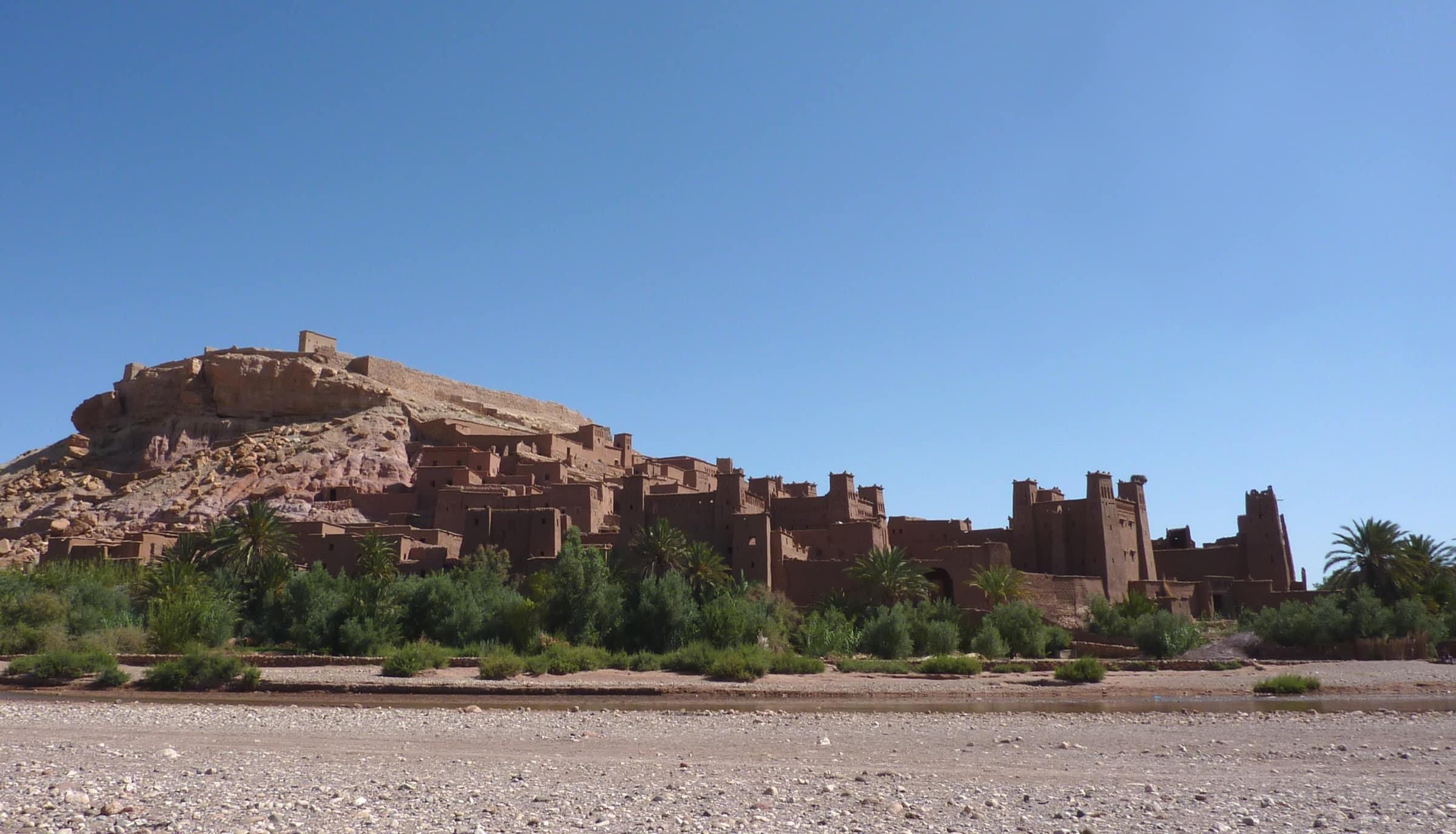
  • Le ksar d'Aït Ben Haddou au petit matin - © Adrian Farwell · CC BY 3.0 · Wikimedia Commons · source

↑ ↓ to navigate · Enter to open · Esc to close